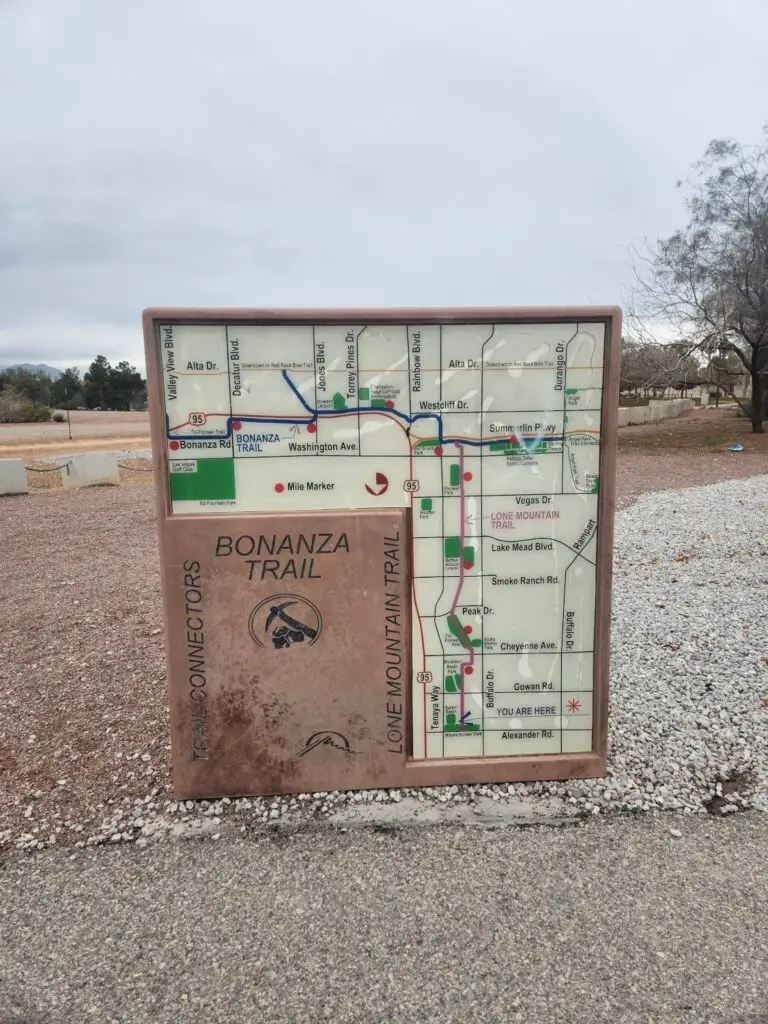
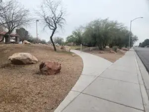
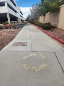
Lone Mountain Trail is a poorly-named urban trail in the City of Las Vegas, following the Buffalo wash for 4.5 miles. This particular trail has nothing to do with Lone Mountain itself, but is still a great running, walking, and even cycling option, especially for the mix of green space and city landscape. It is a multi-use trail designed for a variety of users, not just pedestrians. Keep an eye out for cyclists.
With this distance, there are multiple running and walking route options for 5k, 10k, and half-marathon training.
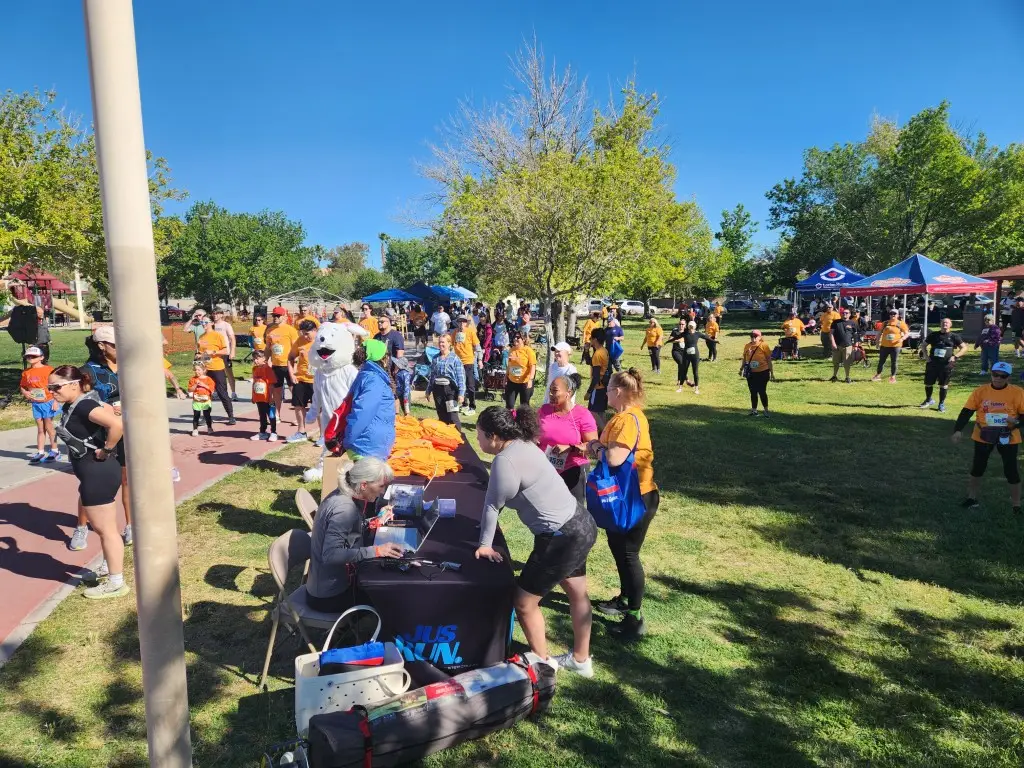
I was curious about this trail and the chain of parks along it after the Labor Day 5K at W Wayne Bunker Park. I wondered why we did two loops around the park instead of following the trail. Now I know.
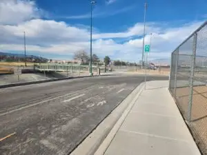
The full trail crosses a few streets, then uses bridges over main arteries. An organized race would require police presence to safely manage runners. For a 5K, it’s not worth the bother.
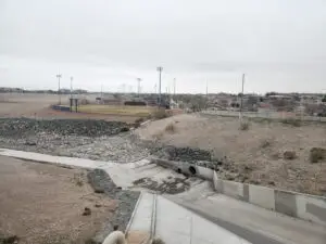
Lone Mountain Trail From the North
Lone Mountain Trail North 5k: Wayne Bunker to Doc Romero Park
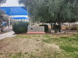
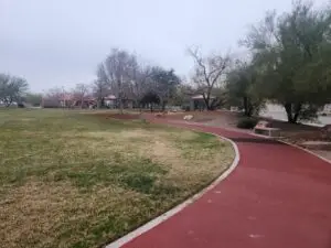
W Wayne Bunker Park is the northern terminus of the Lone Mountain Trail. You can do a 5k within the park and the retaining basin to the south, as the Labor Day 5K or Funny Bunny Race did. The benefit here is that you don’t have to cross any streets to get your miles in.
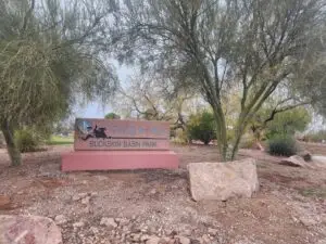
However, if you want fresh scenery, head south on Pioneer Way, crossing Gowan to Buckskin Basin Park. Don’t let Google Maps fool you – it is probably about a full mile if you go along the outside. It has curving paths with a comfortable rust-colored substance, along with a playground and picnic areas. There’s a large soccer field with lights to the west of the walking/picnic areas, so there’s room to roam.
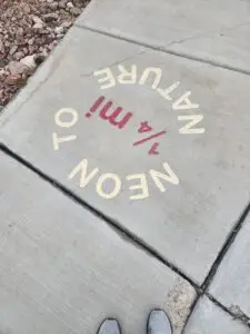
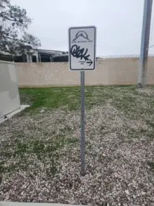
From Buckskin Basin Park, head south on Pioneer Way, then west on Atwood to Tioga. Keep an eye out for the small, white Lone Mountain Trail signs, especially at Tioga, as you head into an alley.
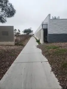
That leads directly to a pedestrian bridge that drops you into Doc Romero Park. This section is urban hiking, just removed enough to safely get where you want to go.
Turn around at Doc Romero Park for your 5k. If necessary, a lap around Wayne Bunker Family Park can get you to 3.1 miles.
Lone Mountain Trail North 10k: Wayne Bunker to Bettye Wilson Soccer Complex
When you need more miles, continue south through Doc Romero Park. You’ll pass by the back side of Cimarron High School and have a good view of their football field and other sport areas.
You should hit 3 miles at Lake Mead Blvd for your turnaround point. If you’re a little short, you can loop around the western part of the Bettye Wilson Soccer Complex, which isn’t fenced in and more easily accessible from any direction.
If you’re short at the end, loop around Wayne Bunker Park, with the option to include the retaining basin as well.
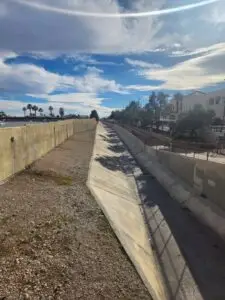
Lone Mountain Trail From the South
Lone Mountain Trail South 5k: Bill Briare Park to Bettye Wilson Soccer Complex
Bill Briare Park isn’t quite the south end of Lone Mountain Trail, but it’s close enough. From Bill Briare Park, you take the Bonanza Trail for about a quarter mile to the start of Lone Mountain Trail. Alternatively, you could start at Pioneer Park. You lose about a mile choosing that starting point, but for a 5k, you’re good to go. This guide will assume Bill Briare Park as the start.
Head north. The first section goes around a parking garage and the trail is not separated from a parking lot roadway, so be extra careful for cars until you hit the raised sidewalk.
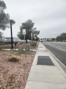
Follow the sidewalk and keep an eye out for white Lone Mountain Trail signs, beige Lone Mountain Trail pillars, and signs on the ground as well.
About a mile in, you’ll pass by Pioneer Park. Do not take the brown bridge on your left – that goes to a neighborhood and takes you off the trail.
After Pioneer Park, you’re right along the wash, with the backs of homes on either side. Expect dogs to bark at you as you go by.
You have a few road crossings with crosswalks and sometimes warning lights. Do be careful and use the lights, but watch oncoming traffic anyways, and be ready to sprint.
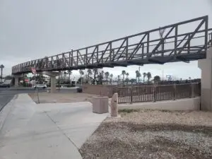
You’ll end up at the south end of Bettye Wilson Soccer Complex on Lake Mead Blvd. There’s a bridge to cross Lake Mead without interruption or danger. Turn around and follow the trail back. You may be a smigde long – if that’s the case, turn around before crossing the bridge.
Lone Mountain Trail South 10k: Bill Briare to Doc Romero Park
When you need more miles, continue north through the soccer complex to Doc Romero Park. You may need to hit the northern edge of Doc Romero Park to get the full 3 miles in.
If you’re short at the end, you can loop in Pioneer Park or Bill Briare Park. Bill Briare Park has a decent half-mile walking path, but it is exposed to the freeway. I’d opt for Pioneer Park for a more peaceful option, and use any extra mileage for a cool-down.
Half-Marathon Training
There are a few options for half-marathon training on this route. Start anywhere, run from one end to the other, and add in loops of the parks of your choosing. Wayne Bunker, Buckskin Basin, and Doc Romero all offer mile loop options. As mentioned, Bill Briare has a half-mile walking/running trail. Run straight and add loops on your way back, run with loops on your way down and straight back, or alternate. The choice is yours.
This trail offers so many options to gradually ramp up your mileage as you get closer to race day. And when you’re at max distance, you can vary your route just a little to avoid getting bored.
Another option is to take a slight detour from the trail on the south side of Lake Mead Blvd. From the trail, head west and cross Buffalo Dr. You’ll see the entrance to Pueblo Park. Pueblo Park offers a full 5k distance, so you might not need the whole thing. The disadvantage is crossing Buffalo and waiting for the light.
With any of these options, you can’t go wrong on the Lone Mountain Trail, whether you’re walking, running, or cycling.