Running In Southwest Las Vegas
Southwest Las Vegas is a growing part of the city. Just south of Summerlin and west of Spring Valley, the southwest part of Vegas has a number of great parks and paths. There are plenty of safe, enjoyable running trails in southwest Las Vegas.
Define Southwest Las Vegas
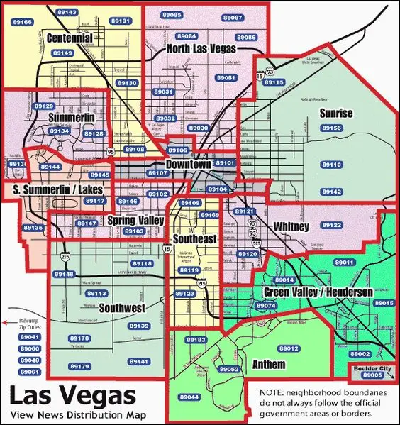
Southwest Vegas, for us at least, is home. Note that this part of Las Vegas isn’t within the city limits, but is under Clark County jurisdiction. It’s commonly defined as the I-15 and Tropicana south and west to where the city currently ends. That includes the neighborhoods:
- Rhodes Ranch
- Mountain’s Edge
- The Mesas (although this could be Summerlin)
- Silverado Ranch
- Spanish Hills
- Spanish Trails
- Nevada Trails
You can also look at it by zip code. I’ll use zip codes to organize start and end points of routes for easier organization.
- 89148
- 89118
- 89113
- 89139
- 89179
- 89141
The further west you get, the newer the development. The far west side of town is either wide roads with bike lanes, or single lane roads with no shoulder at all, depending on development status.
Southwest Vegas Routes
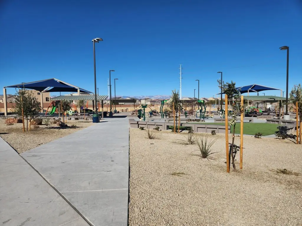
Southwest Vegas includes plenty of master planned communities. While these have their issues, one thing that they did think about is outdoor recreation. Mountain’s Edge has Exploration Peak Park and plenty of other green spaces, and The Cliffs on the west side incorporated pocket parks and bike lanes in their planning. While Mesa Park in The Mesas is a little too small to be counted among the good running trails in southwest Las Vegas on its own, it makes a great start or end to a longer road route. Read on for our current Southwest Vegas running routes!
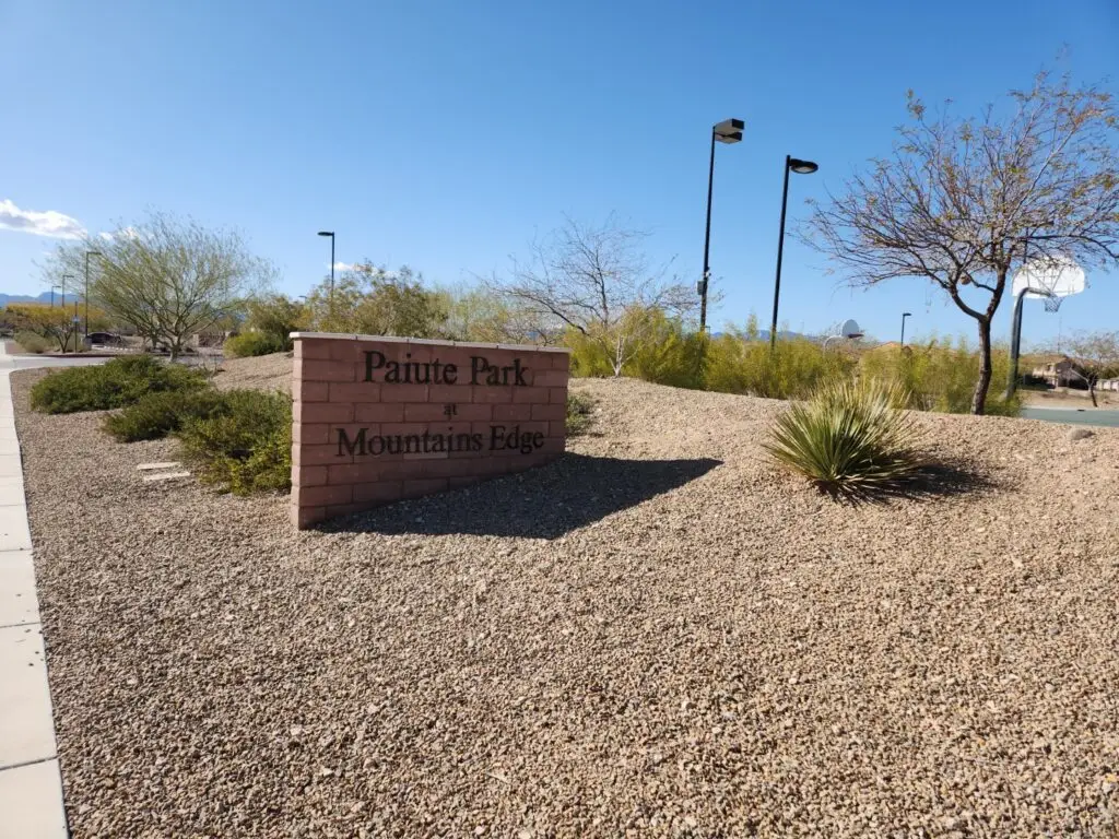
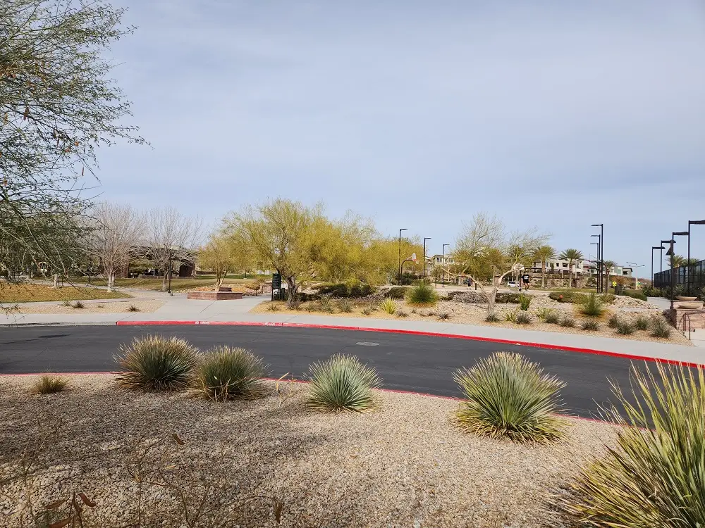
Paiute Park Walking Route
Located on Cimmaron just south of Blue Diamond Road, Paiute Park has good parking and…

2025 Candlelighters Superhero 5k Review
Candlelighters is a Las Vegas-based non-profit that helps supports families and kids diagnosed with cancer….
Battle Born Park 5K Route Options
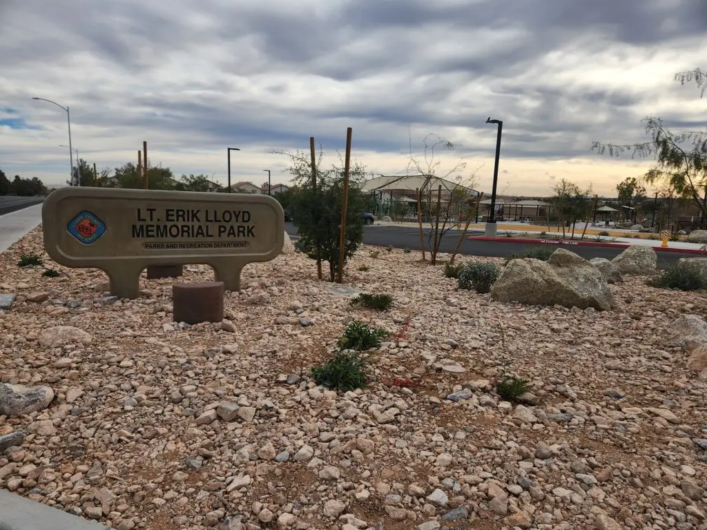
5K Route: Lt Erik Lloyd Memorial Park to Oak Leaf Park
In December of 2024, Southwest Las Vegas got its newest park: Lt Erik Lloyd Memorial…
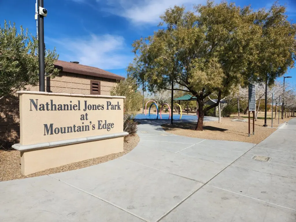
Nathaniel Jones Park and Le Baron Paseo – Mountain’s Edge Running Route
Nathaniel Jones Park is a small park in Mountain’s Edge in southwest Las Vegas. It’s…

Exploration Peak Park – Mountain’s Edge Running Route
Exploration Peak Park is a wonderful park in Mountain’s Edge, a development in Southwest Las…