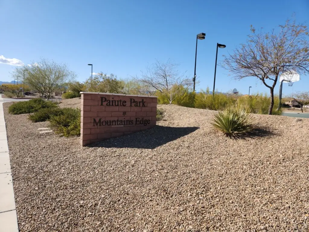
I love running at Red Ridge Park, Las Vegas, NV at Arby and El Capitan, just behind the new Durango Station. First of all, it’s the closest park to my home. I don’t have to cross any major streets to get there, and it’s surrounded by small side streets, so traffic is low.
The park itself is a mile square, ¼ mile on each side. This makes for easy mile counting and quarter-mile sprint training. It’s even got a tiny hill for small hill repeats. If you really want to do elevation, you’re better off at the future bike park on Ft Apache and Warm Springs, at least for now.
Besides its location, it’s got two water fountains and a bathroom with doors, all on the eastern side of the park. This doesn’t sound like a big deal, but it is! Not all parks have these amenities, and if you have a small pack or a small bladder, they’re both critical for runners in Las Vegas. The bathroom is next to the parking. One fountain is in the kid’s playground north of the restrooms, the other is south of the restrooms. Fountains are turned off in winter to avoid pipes cracking.
There is a small outcrop for Tanaka Elementary School on the northwest corner of the park. This isn’t an issue at all, and between around 8:30-9 AM and 2:30-3 PM, there are crossing guards that will hold up their signs for all pedestrians, not just the kids and their families.
I use Red Ridge Park for both 5K and 10-mile running routes.
5K Walking or Running Routes from Red Ridge Park Las Vegas NV
Public parking is on the east side of the park, so routes start from the southeast corner. There are two easy options for a 5k run starting at Red Ridge Park.
Option 1, 1-mile loop:
Start at the southeast corner of the park. Run the perimeter of the park three times. Easy! I usually run this clockwise.
Option 2, 1.5-mile loop:
- Start at the southeast corner of the park.
- Run west for ¾ mile to Ft Apache Rd.
- Turn right, heading north for ¼ mile. There’s a little decline here.
- Turn right on Maule, heading east for ¾ mile.
- Turn right on El Capitan at the end of the park, heading south for ¼ mile, to where you started.

Repeat the loop once to hit 5k.
The 1.5 mile loop is nice if you don’t like repeating loops as often. The one disadvantage is that you run along Ft Apache a little, which is a very busy and noisy street. The sidewalk is even, but some of the homes have trees that can overgrow into the sidewalk, so you may have to watch your head a little. There is a bike lane, but I would NOT use it. The traffic is heavy, and cars will use this as a right-turn lane onto Maule to get to Durango Station. They will not be expecting a runner on the street.
10-Mile Route from Red Ridge Park Las Vegas NV to Mesa Ridge Park
I feel like Red Ridge Park, Las Vegas, NV is the start of a chain of small pocket parks on the way to Mesa Ridge Park in The Mesas development in Summerlin. The developers have done a good job of making the outdoor area attractive to pedestrians, with nicely landscaped, accessible sidewalks.
- From Red Ridge Park’s southeast corner, run ¼ mile north to the end of the park.
- Turn left on Maule, staying on the south side of the street, heading west. This way, you run along the park and the school, which means fewer entrances and drivers that hopefully are paying a little more attention.
- Run west on Maule about a mile and a half. You’ll pass two more schools and run through a roundabout. Past the roundabout, you’ll hit an incline. The south side sidewalk is curved and has switchbacks, making the incline less steep. If you want to push your heartrate, choose the north side, which is a straight path. I prefer going up the switchbacks and coming down the straightaway. Maule curves northbound and turns into Hualapai Way.
- Continue on Hualapai for another half mile. Hualapai and Sunset does not have a traffic light, but Sunset ends here. If you’re on the south side of the street, you don’t have to worry about crossing this intersection.
- Another mile and you’re at Russel. Turn left onto Russel. You’re back in a residential area, so the streets get curvy.
- Take Russel to the second roundabout, where it ends, and turn right onto Mesa Park Drive.
- Take Mesa Park Drive north to the park. You should be right under 5 miles. Run around the park a bit, or start to head back. You can go back the way you came, or you can run a slight alternative:
- Head out onto Mesa Park Drive heading south. Stay on Mesa Park Drive at the roundabout, going straight south instead of heading east onto Russel. Mesa Park Drive will curve into Hualapai slightly north of Sunset. This stretch has a slight decline and passes through some pocket parks.